How a history of innovation supports new geospatial solutions
15 Sep 2022
Source: www.ordnancesurvey.co.uk

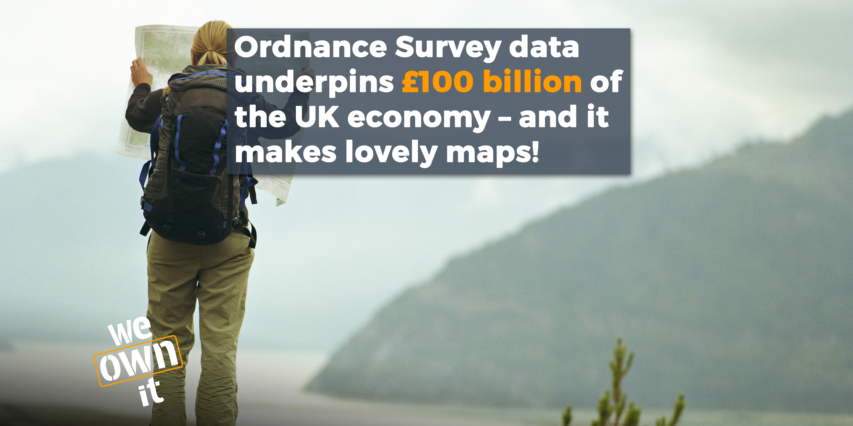
Ordnance Survey has been mapping the UK for over 230 years. The organisation began in 1791, when its maps were used to help defend the British coast from the French. In the industrial revolution it surveyed and mapped land to build Britain’s railways. Today, of course, it produces the iconic paper maps. But that’s not all - these world-famous maps now make up only 6% of its revenue. The rest involves ‘big data’, producing super accurate geographic information that is used by the government, businesses and individuals across the UK.
We do! Ordnance Survey is a public corporation, a trading body with day-to-day operating independence. It is owned by the UK government, responsible to the Secretary of State for Business, Energy and Industrial Strategy (BEIS).
Ordnance Survey is a great example of a publicly owned company working well. In 2015 it was threatened with privatisation but we helped campaign against that threat and it is still owned by the British public today. Ordnance Survey is a national treasure that belongs to all of us, let's keep it that way.
Ordnance Survey has mapped every corner of the UK, however rural or remote, and we all rely on this data. If you call for the fire service or an ambulance, usually it is OS data that is used to find you. When there is a gas leak or a burst water main, utility companies plan their response using OS mapping. Want to locate your nearest post office, cinema or supermarket? Ordnance Survey supports the search engines behind the scenes and points you in the right direction.
Public sector organisations are allowed to use Ordnance Survey's data for free to solve lots of different problems. This helps local government with flood risk prevention and grit provision, and makes delivery services and bin collections more efficient. OS data can locate people and save lives in emergencies like natural disasters and epidemics.
Ordnance Survey is a highly innovative company, tackling challenges like the roll-out of electric vehicles, developing new products like apps and delivering work for countries around the world. All while making a profit for the public purse.
"With our eye firmly on the future, we continue to experiment with emerging technologies within OS...William Roy’s lifelong mission was to build a superior map of Britain, unparalleled in its accuracy. I like to think he would be proud of the 21st century OS as we continue to deliver on this vision."